Sub Surface offer a complete Contaminated Land Risk Assessment (aka. Contaminated Land Surveys) service in support of planning applications and to Discharge the Conditions set by the the Local Authority, NHBC or other warranty schemes. Our Contaminated Land Risk Assessment reports are also suitable for due diligence purposes.
Contaminated Land Surveys and Risk Assessment Services:
Contaminated Land Surveys are generally carried out in a phased approach, where each phase determines whether the next phase is required. If contamination is identified, the report sets the scene and requirements for the next phase. For example, if the Phase 1 Contaminated Land Survey determines no potential sources of contamination, then the Phase 2 Site Investigation, Phase 3 Remediation and Phase 4 Verification will not be required.
(For more information click the titles below to take you to the relevant page)
Phase 1 Contaminated Land Survey (aka Phase 1 Desktop Study) and Site Reconnaissance
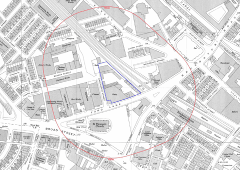
Identifying potential contamination sources, pathways and receptors, to develop the initial Conceptual Site Model (CSM). The Phase 1 Contaminated Land Survey will determine whether a Phase 2 Intrusive Site Investigation is required.

Phase II Intrusive Site Investigation
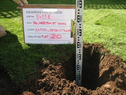
Cable percussive boreholes, window sampling, rotary drilling, trial pits, hand dug trial pits, etc. to assess the ground conditions, carry out insitu testing and obtain samples for geotechnical and contamination testing.

Phase III Options Appraisal and Remediation Strategy
If the Phase II Site Investigation suggest there is a risk to human health, controlled waters, plants, etc. then a Phase III Options Appraisal and Remediation Strategy will be required which will be carried out in consultation with the Local Planning Authority and/or the Environment Agency.

Phase IV Verification (Validation)
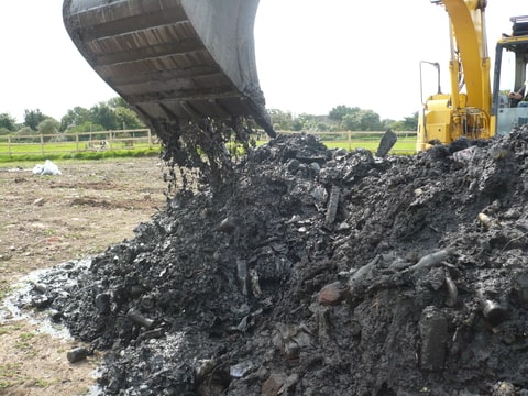
Site inspections and providing independent Validation of a range of remediation technologies and protection measures. These include (but not limited to) gas and vapour barrier membrane installation, engineered topsoil cover systems, contamination hotspot removal, tank removal, soil waste management and re-use, environmental permit surrender, etc.

Contaminated Land Surveys and Risk Assessments – Why Sub Surface?
With over 45 years of experience, our team of highly qualified and experienced staff ensure our Contaminated Land Risk Assessments are carried out in accordance with current UK guidance. These include (but not limited to) Environment Agency Land Contamination Risk Management (LCRM) (formerly CLR11), the British Standards Institute BS10175 Investigation of Potentially Contaminated Sites – Code of Practice, and the NHBC Guidance for the Safe Development of Housing on Land Affected by Contamination.
Our Geoenvironmental Engineers use various modelling, statistical analysis and geographical information system (GIS) software tools to quantify the risks. The use of these tools often enables us to separate out clean zones and contamination hotspots thus reducing the amount of soil requiring remediation and minimise the cost to the client.
If a site is contaminated, Sub Surface can provide advice on remediation options. Our experienced staff are happy to liaise with Specialist Remediation Contractors to formulate the most cost-effective way forward.
Whom to Contact
If you would like a quote for our Contaminated Land Surveys (Contaminated Land Risk Assessment) services or have any questions, please do not hesitate to contact your Regional Sub Surface Office.

